Well, here's what I found. the road (the B7076) has been upgraded in the not too distant past, it has an unusually smooth surface for a british road!, and has obviously been raised. It obviously follows the line of an older road, and in a couple of places you can see the old road has been used for access to services etc. The amount of trees also made it dificult to see hill lines etc. The road is open at both ends however, running from Abingdon to Beatock.
I was in a bit of a hurry, so couldn't take long to find exact locations, so used suitable lay-bys. here are my 2 contenders:
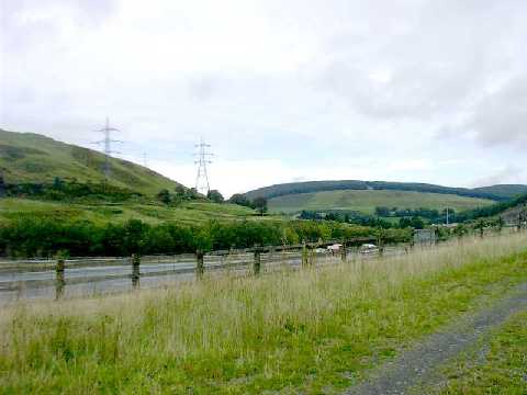
Just north of Beatock at Middlegill. the river is in the right place, and just over it is the A74M, this would tie in with the mound on the right of the pic

Further on (northwards). the hills in the background are closer to the orig pic, but I couldn't see the river, though it may have been diverted or sent through pipes in this area as part of A74M build.

No sign of the bridge, but as road has been raised It will no doubt have gone. Also, the pics are taken from 2 different positions (cars going in different directions) soit could have been anywhereon the route.
One other point... if this is the location, it's more of a hill descent than a hill climb!, perhaps top pic is of a return run?